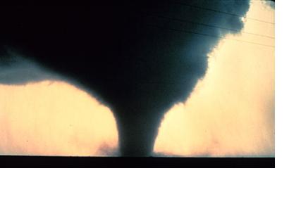
Within days after devastating tornadoes struck Alabama and Missouri, the damage experts at ImageCat and New Light Technologies produced a rapid building damage assessment database to estimate losses from the event. This work was done through the use of high-resolution pre- and post- event NOAA aerial photography, Google Earth satellite imagery and engineering expertise.
Over 400 sq miles of area was analyzed in Tuscaloosa (Alabama), Birmingham (Alabama) and Joplin (Missouri). 17,000 + properties were identified with damage ranging from limited to catastrophic. The results from this damage assessment were intended to provide actionable information that FEMA could use in its Individual Assistance (IA) Program.
In addition to the rapid building damage assessment database a distribution of damaged building by occupancy was developed. The building occupancy damage analysis played a key role in identifying the owners of damaged building and in supporting the housing assistance program.
With the availability of very high-resolution aerial imagery, the damage assessment for the spring tornadoes of 2011 provided an accurate account of catastrophic damage levels in the impacted areas. The development of a damage protocol for tornadoes using a combination of several damage classification schemes ensured the production and delivery of a consistent damage assessment database to FEMA.

