The Astrium Services GEO-Information team announced that Pléiades imagery is now available to all users, notably through its GeoStore portal (www.geostore.com) that opened on 4 June 2012. Astrium GEO-Information Services, which has already signed partnership agreements to supply Pléiades data with three leading players in the remote-sensing industry—PASCO Corporation in Japan, Beijing Eastdawn Information Technology in China and MacDonald Dettwiler and Associates (MDA) in Canada—is thus adding very-high-resolution products for precision mapping and photo-interpretation to its portfolio, available to customers worldwide.
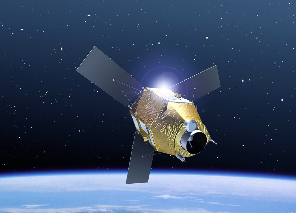
Pléiades 1A, launched on 16 December 2011, is the first in a constellation of twin Earth-imaging satellites, the second of which is set for launch in the coming months. This constellation offers exceptional performance for civil applications. Besides their 50-cm resolution after resampling, the Pléiades satellites’ agility enables them to image points out to 1,500 km either side of nadir. The two satellites will be phased to guarantee daily revisits to any point on the globe.