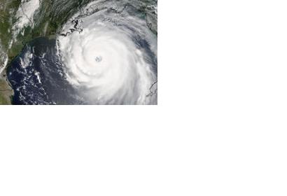
A new, freely-accessible online database of storm surge data will help coastguards, meteorological organisations and scientific communities predict future storm surge patterns. It has been created by the eSurge project, of which the Danish Meteorological Institute, the Coastal and Marine Research Centre, the Royal Dutch Meteorological Institute, the CGI and the National Oceanography Centre are members.
Coastal altimetry obtained from satellite data, which provides detailed wave and sea level data in the coastal zone captured by specialist instruments called radar altimeters on board satellites, is at the heart of the project.
Raw data collected from satellite-based radar altimeters have been re-processed and collated with wind speed data from scatterometers and sea level measurements from tide gauges, to show the spatial structure of each storm. With eSurge, forecasters and scientists can now download these enhanced data and use them for validating their storm surge models and for mapping future storms more accurately.
“Storm surges are a global hazard that pose a threat to thousands of lives, and coastal flood forecasting systems can save lives and protect property,” said Professor Kevin Horsburgh, Head of Maine Physics and Ocean Climate (MPOC) at NOC.

