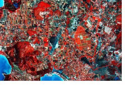
There is a need for wider coordination between conservation organizations and space agencies to decide which variables tracked from space can be useful in order to monitor changes in biodiversity on a global scale. It is crucial to identify these changes as they may very well have impacts on the occurrence of natural disasters, such as droughts, landslides, floods and wildfires.
Although the definition of biodiversity and the factors that influence it seem clear, it is difficult to quantify, as it cannot be reduced to physical units. Moreover, scientists have tried to set variables for measuring biodiversity but they faced additional problems, as the lack of access to data, uncertainties in the continuity of observations and limitations of satellite imagery. Remote sensing through satellites can track vegetation coverage, monitor agricultural activity, soil moisture, measure height, rainfall and temperature. However, there is no agreement on how to use these measurements for an effective biodiversity monitoring.
Several researchers have recently published an article in Nature where they propose various indicators for assessing biodiversity from space, and specialists gathering in ESA’s ESRIN centre also suggest ten variables, such as ecosystem distribution, plant traits, fire occurrence and inundation regimes.
Dr Nathalie Pettorelli from the Zoological Society of London, and co-author of the Nature study, stated that “with global wildlife populations halved in just 40 years, there is a real urgency to identify variables that both capture key aspects of biodiversity change and that can be monitored consistently and globally by satellites.”

