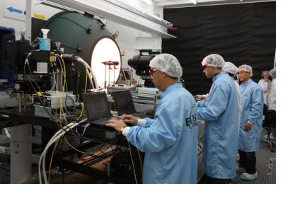
ESA and NASA have joined forces to ensure that Sentinel-2 and the newly launched Landsat Data Continuity Mission offer compatible data products, thereby bringing greater benefits to users of images of Earth’s land and coastal zones.
ESA is currently developing the two-satellite Sentinel-2 mission for Europe’s Global Monitoring for Environment and Security initiative. With the first satellite slated for launch in 2014, this innovative mission is dedicated to supplying multispectral, high-resolution optical images for monitoring changes to the landscape, for forestry and agriculture and to support emergency efforts in response to natural and manmade disasters.
Given the similar mission concept of the US Landsat Data Continuity Mission (LDCM), ESA and NASA entered into a collaborative agreement. Francois Spoto, the Sentinel-2 Project Manager, said, “Thanks to the cooperation between the two agencies, we are aiming to improve the interoperability of the three satellites, reducing the average revisit time to just three days over the equator and generate comparable data products.”

