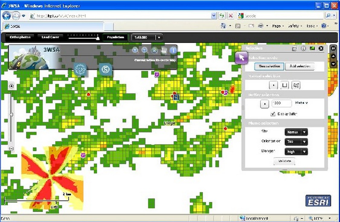
In response to the European Union SEVESO directive, industrial operators and public security services have to plan emergency scenarios. WALPHOT developed user friendly geo-information on potential adverse impacts of accidents such as physical/environmental damage, pollution and potential victims according to the vicinity of transport infrastructure (rivers, railways, airports) or high density of population. This rapid mapping tool is presented at the International Conference “Data flow from space to earth: application and interoperability” in Venice on this 23rd of March.
Was presented on: http://www.space.corila.it/Program/Slide/71_Nathalie.pdf