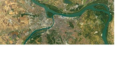
The Increasing Resilience through Earth Observation (INCREO) project brings together earth observation data gathered through EU's Copernicus programme and makes it available for emergency services, civil protection and disaster management missions.
INCREO aims to address the mounting disasters affecting Europe - dam failure, storm surge and wave height, flood and landslide - by delivering space-based information in support of multi-hazard situations. The multilateral project includes ten partners' enterprises from seven countries and disposes of a total budget of EUR 3 million. Among participant organizations are Airbus and UNESCO Venice.
INCREO's prime goal is to create sustainable risk management strategies and to raise awareness on risk within the communities living in vulnerable areas. In this sense, the use of satellite imagery and mapping techniques will deliver accurate information on location and will allow mitigation strategies where disasters cannot be avoided. Also, the project seeks to use earth observation data to measure population density crucial for the evacuation of local residents by civil protection teams in the event of a disaster.
The first global map addressing resilience and vulnerability issues in South West Europe and South East Asia is now available on the website.

