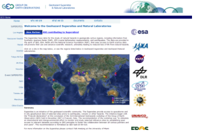
The European Space Agency has launched SuperSites Exploitation Platform (SSEP), a cloud-based geohazards research platform that allows researchers to access geodata for natural hazards in geologically active regions, including information from Synthetic Aperture Radar (SAR), GPS crustal deformation measurements, and earthquakes. "SuperSites" consists of seven observatories collecting data from all geologically active regions of the world. The platform is based on technology by the private cloud services company Interoute's Virtual Data Centre, and gives access to 13TB of geohazards data, including 50,000 radar scenes.
"This platform will provide authorised users with simple access tools to view and retrieve data from multiple archives, to place their tasking requests, to fetch data, and to report results back to data providers, which will make a larger pool of data available to scientific data users," ESA technology officer Jordi Farres said in a statement. "The SSEP model complements the legacy model where data was shipped out and processed at a user's premises."
Learn more about the SuperSites here.

