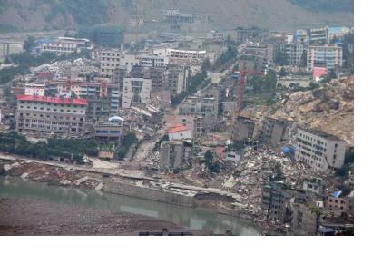
On November 18, the China Earthquake Administration (CEA) and the National Surveying, Mapping and Geo-information Administration signed an agreement on data sharing in order to strengthen national capabilities in earthquake prevention and relief.
The future data exchange will include information from the Global Navigation Satellite Systems (GNSS), gravitational observation, observation of magnetic fields, mapping of geological formations and topography, and remote sensing. Specific data for earthquake prevention and disaster reduction will be provided through China’s BeiDou Navigation Satellite System and gravitation satellites.
In the past, both authorities already cooperated in sharing remote sensing and other Earth observation data in the aftermath of the earthquakes Wenchuan (2008) and Yushu (2010).

