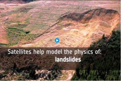
Satellite archives information combined with a new cloud computing platform offer early warning of landslides. An example of this is Carmenes del Mar resort, in the south coast of Spain, that suffered from landslides leaving homes destructed. Combining radar images from various satellites, a team of Spanish researches from the group Analisis del Relieve y Procesos Activos (ARPA) could detect motion of less than a centimeter per year.
Minimal shifts are highlighted in rainbow-like patterns when consecutive radar images of the same site are combined. Traditionally the detection of imperceptible changes was particularly complex requiring a longer period of time. Now it is possible to use new computing services supported by ESA which allow easier and faster use of satellite information.
The online Geohazards Explotation Platform permits the flawless, browsing, access and processing of vast amounts of satellite data. Furthermore there are software tools that extract helpful knowledge and share the results.
The benefit of this technological advancement is that researches can dedicate more time to their core work: information analysis and interpretation; while the data collection and the results production is done in an automated way.

