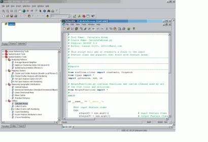
Esri recently announced that it has integrated SciPy into its ArcGIS software in order to provide users with geoprocessing instruments that perform particular scientific and technical tasks.
SciPy is a Python-based ecosystem that delivers open-source software for various applications in the fields of mathematics, science, and engineering. Python is a scripting language characterized by being easy to use, highly scalable, as well as stable.
From now on, users will be able to access SciPy script internally to the Esri ArcGIS environment for solving scientific and technical problems. At first, SciPy will be available for ArcGIS Pro as an optional install when ArcGIS 10.3 is released, while in the second integration phase SciPy will be automatically installed in ArcGIS 10.3.1.
SciPy enriches the functionality of Python by increasing valuable tools for the scientific and engineering communities. Kevin Butler, a Product Engineer with the Geoprocessing and Analysis Team of Esri explained: "An atmospheric scientist may use the image filtering modules to delineate zones of horizontal transport of water vapor. A transportation geographer may use the Markov chain modules to simulate traffic flow. A geoscientist may use the symbolic mathematics routines to trace faults and model crustal movement. An ocean scientist may use the calculus module to calculate ocean dynamics A fisheries scientist or resource manager may use the linear algebra modules to set a harvest quota for a fish stock."

