United
Nations
Office for Outer Space Affairs
UN-SPIDER Knowledge Portal
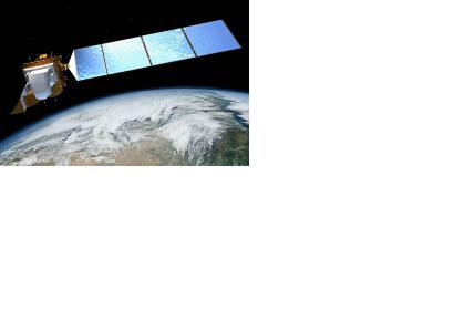
Customers of Amazon Web Services will have free access to over 85,000 satellite images provided by Landsat 8. This offer will set the stage for new types of geographically-oriented cloud applications.
The Landsat imagery is probably the most comprehensive publically available set of satellite images of the earth. It covers the entire globe and is frequently updated. It is widely used across a variety of fields, including regional planning, surveillance, agriculture, cartography, geology, forestry, and education.
"Because the imagery is available on AWS, researchers and software developers can use any of our on-demand services to perform analysis and create new products without needing to worry about storage or bandwidth costs," said Jed Sundwall, Amazon open data technical business manager, in a blog post.
