![]()
United
Nations
RSGISLib
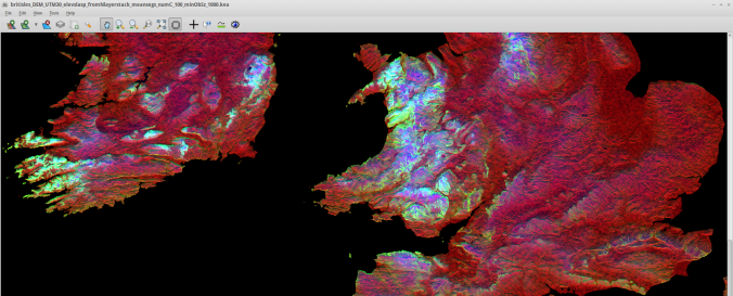
| Description: | The Remote Sensing and GIS software library (RSGISLib) is a collection of tools for processing remote sensing and GIS datasets. The tools are accessed using Python bindings or an XML interface. The project is hosted on Bitbucket and is available to download from https://bitbucket.org/petebunting/rsgislib The project is jointly led by Pete Bunting (Earth Observation and Ecosystem Dynamics Group , Aberystwyth University) and Dan Clewley (Plymouth Marine Laboratory). |
| Software type: | Crowdsourcing/VGI |
| Website: | https://www.rsgislib.org/ |
| Accessibility: | Install only |
| Requirements: | GDAL, Python, rsgislib, hy5py, tuiview |
| Computer System: | Windows, MacOSX, Linux |
| Scope: | Image processing |
| Vector/Raster: | Vector, Raster |
| Optical data or radar data format: | Optical, Radar |
| Costs: | Free |
| Tutorials: |
![]()