![]()
United
Nations
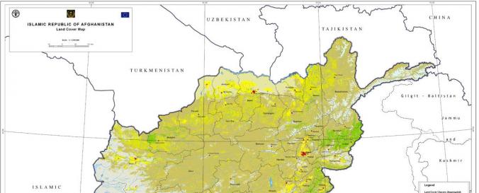
Land Cover, Afghanistan (FAO)
| Data provided by: | Food and Agriculture Organization of the United Nations (FAO) |
| Data accessibility: | export data |
| Link to the data: | |
| Data type: | land use, land cover data |
| Disaster cycle phase: | Disaster Risk Management |
| Satellites and Sensors: | Landsat 4, SPOT 4 (HRVIR) |
| Spatial coverage: | Afghanistan |
| Spatial resolution: | 30m |
| Temporal coverage: | Archive |
| Content dates: | 2010-2011 |
| Technical Specifications: | |
| Costs: | free |
Provider
![]()