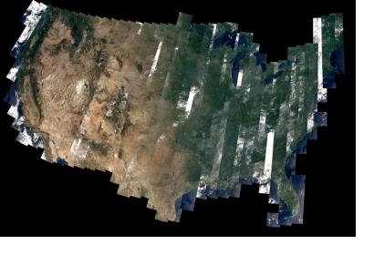
Researchers in the University of Cincinnati Department of Geography are hard at work tracking drought patterns across the United States implementing an Event-based Spatial-Temporal Data Model (ESTDM) tracing the dynamics of agricultural drought in order to detect, track and monitor these conditions.
Data for this study was collected with the help of the European Space Agency’s (ESA) Soil Moisture and Ocean Salinity (SMOS) satellite. This satellite which uses an L-band passive microwave radiometer can analyze spatial and temporal variations in soil moisture and ocean salinity, and can penetrate the earth’s surface to a depth of 5 cm to provide soil variability for each pixel.
Drought is rated among the most costly disasters with wide-ranging impacts on society. The ability to predict the time and severity of droughts can provide valuable information for disaster risk planning, management and response plans.
Future research will continue with the new NASA Soil Moister Active Passive (SMAP) satellite to be launched near the end of the year.
The details of this research will be presented at the annual meeting of the Association of American Geographers (AAG) in Tampa Florida this week.

