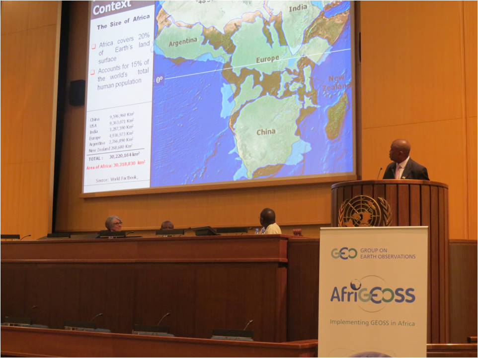

During the AfricaGIS2013/GSDI14, held this week in Addis Abeba, AfriGEOSS was launched on 5 November 2013. AfriGEOSS is an initiative by the intergovernmental Group on Earth Observations (GEO) aimed at building infrastructural capacities in Africa to benefit from geospatial data for sustainable development.
GEO states: "The intergovernmental Group on Earth Observations (GEO) is playing a key role by supporting the Environmental component of the Sustainable Development agenda at the global level, and also at the regional level through a dedicated initiative, focused on Africa – AfriGEOSS.
AfriGEOSS is designed to support the continent’s efforts to bridge the digital divide and build a knowledge-based economy, by enhancing Africa’s capabilities for producing, managing and using Earth observation data and information.
A key objective of AfriGEOSS is to strengthen the “infrastructural” capabilities of Africa, at continental, regional, and national scales. Enhanced capabilities and networks, to ensure functionality across the continent for collecting Earth observation data, generating products and services and sustaining this value chain is key.
This objective is being pursued by coordinating existing initiatives, building on existing capacity, exploiting GEO networks and infrastructure, and by leveraging existing and planned assets and resources. The development and implementation of a robust participatory model is an integral part of AfriGEOSS.
Regional coordinators have been identified and are surveying ongoing initiatives, as the starting point for specific plans of actions/projects in each region of the continent. These projects will include both infrastructural elements, applications and services and education and training programs.
Key African actors at the continental scale are being asked to shape a coordinated satellite data acquisition strategy for Africa, together with the network of data receiving stations, to promote data democracy and data sharing.
Active participation of African countries is absolutely key for the success of AfriGEOSS. In this regard, additional country engagement beyond the current 21 GEO Member countries in Africa is needed. The contributions of African GEO Participating Organizations, such as African Association of Remote Sensing of the Environment (AARSE), the African Center of Meteorological Application for Development (ACMAD), the Environmental Information System (EIS-Africa), and UN Economic Commission for Africa (UNECA), are also essential from a technological and coordination perspective."
| Attachment | Size |
|---|---|
| AfriGEOSS | 68.91 KB |