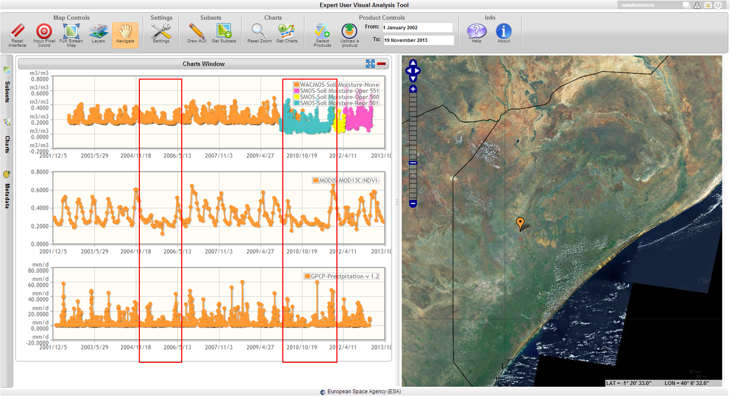
The Multi-sensor Evolution Analysis (MEA) platform supports Earth Observation communities in loading, visualizing and analysing multi-dimensional datasets. Implemented in the framework of the European Space Agency ASIM project, MEA has been recently adopted in the European Commission EarthServer initiative as graphic user interface of the Climate Data Service. MEA is a multi-product satellite data management and exploitation system that allows its users to access to a wide set of satellite-based data (e.g. vegetation indexes, soil moisture, precipitation) and display the temporal evolution of these fields to identify long term trends as well as short term / abrupt changes. The global coverage as well as the fast response to data access, and the possibility to visualize many fields simultaneously, make of MEA a powerful tool to monitor the effect of long term trends (e.g. drought) and early identify the effect that climate change is having on areas more prone to natural threats.