• English
  • Español
  • Français

United
Nations


Office for Outer Space Affairs
UN-SPIDER Knowledge Portal

  • Accueil
  • À propos
    • Qu'est-ce que l'ONU-SPIDER?
    • À propos d’UNOOSA
    • Publications
    • Offres d'emploi
    • Rencontrez l'équipe
    • Contact
  • Applications spatiales
    • Technologie satellitaire
    • Mécanismes d’urgence
    • Recovery Mechanisms
    • Réseau international d'alerte aux astéroïdes
    • Space Mission Planning Advisory Group
    • Initiative internationale sur la météorologie spatiale
    • Les technologies spatiales à l'ONU
    • Comptes-rendus d'utilisateurs
  • Liens & ressources
    • Application de données du mois
      • Disaster Recovery
    • Sources de données
    • SIG et logiciels de télédétection
    • Online Learning Resources
    • Institutions
  • Risques & catastrophes
    • Prévention des risques de catastrophe
    • Systèmes d'alerte précoce
    • Gestion des catastrophes et des interventions d'urgence
    • Aléas naturels
    • Cadre d'action de Sendai
    • L'ONU et la prévention des risques de catastrophe
    • L'ONU et les alertes précoces
    • L'ONU et la gestion des catastrophes
  • Appui technique
    • Missions Conseil
    • Appui d’urgence
    • Appui à distance
    • Pratiques recommandées
    • Activités de formation
    • Utilisations pratiques
  • Réseaux
    • Bureaux régionaux d’appui
    • GP-STAR
    • MHEWS
    • IWG-SEM
  • Projets
    • SPEAR
    • SEWS-D
    • EvIDENz
    • Flood GUIDE
  • Actualités
    • Actualités
    • Événements
    • Événements passés

Breadcrumb

  • Home
  • Azerbaijan To Use Satellite Data For Seismic Monitoring
  • Azerbaijan to use satellite data for seismic monitoring

Azerbaijan to use satellite data for seismic monitoring

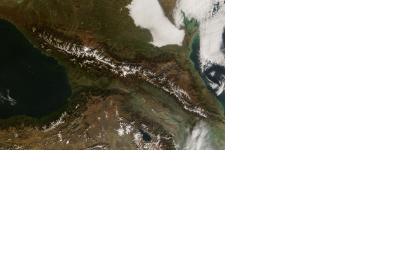
Caucasus Mountains on the Azerbaijan border, November 9, 2008Caucasus Mountains on the Azerbaijan border, November 9, 2008 (Image: NASA)

The first telecommunication satellite Azerspace-1 will monitor the seismologic situation of Azerbaijan, which is located in a highly seismically active zone.

Azerspace-1, launched in February 2013, covers Eastern Europe, the Caucasus, Central Asia and North Africa and offers digital broadcasting services, internet access and data transmission for disaster monitoring and communication exchange between the stations of the monitoring system.

Resources of the satellite will be used to exchange data between different stations of the monitoring system for the diagnosis and management Robust Noise Monitoring, designed for seismic research, as the Control Systems Institute of the Azerbaijani National Academy of Sciences reported.

The exchange of seismic information will involve 35 monitoring stations located in the country and the system will be equipped with a special software, which transfers seismic acoustic signals directly to the server of the Institute, developed with the support of the Communications and High Technologies Ministry.

This new monitoring system is capable of warning about the possibility of an earthquake within a radius of 300-400 kilometers in 5-20 hours.

Moreover, experiments are currently underway to determine the coordinates of the centers of earthquakes.
 

azernews
Mon, 12 Jan 2015 - 09:43
Azerbaijan

Footer menu

  • Contact
  • Terms of Use

User account menu

  • Log in