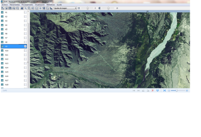
The National Commission for Space Activities (CONAE), UN-SPIDER's Regional Support Office in Argentina, presented an extensive satellite-based map of the province of Tucumán, Argentina. This is a unique effort assembling satellite images and topographic cartography in 1:100.000 scales. The project was presented on 23 June 2014 at the Government House of the Tucumán province, Argentina, in the presence of national and regional authorities, professionals and students of primary schools.
Atlas Tucumán 100K was created by the National geographic Institute (IGN), CONAE, the Institute for Geographic Studies of the National University of Tucumán and the Regional Ministry for Education. This up-to-date work joins geography and spatial technology to the educational system, giving continuity to the work started with Atlas Argentina 500K, in its editions of 2010 and 2011.
The atlas contains topographic maps and satellite imagery, as well as high resolution aerial photography and several thematic maps showing natural environments, productive areas, and population distribution.
The work is completed by a DVD in which are presented data and products in digital format, backed by the SoPI project (Software of Image Process), a free software developed by CONAE allowing to visualize and work with satellite images deriving from the Spot 5 satellite and provided by CONAE.
All material is freely available online: www.tucuman100k.gob.ar.

