![]()
United
Nations
Locust Watch (IRI)
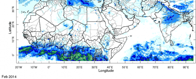
| Data provided by: | International Research Institute for Climate and Society (IRI) |
| Data accessibility: | export data, export map, visualization of data (e.g. web GIS or real time monitoring) |
| Link to the data: | |
| Data type: | hazard specific data |
| Hazard: | Insect Infestation |
| Disaster cycle phase: | Disaster Risk Management, Response, Recovery |
| Spatial coverage: | Global |
| Spatial resolution: | 250.00 |
| Temporal coverage: | Archive, Near-real time |
| Content dates: | 2000-present |
| Technical Specifications: | |
| Costs: | free |
| Contact: | Contact IRI |
| Tutorials on the use of data: | Select the data set of interest and click on the "Instruction" option |
Provider
![]()