  • English
  • Español
  • Français

United
Nations


Office for Outer Space Affairs
UN-SPIDER Knowledge Portal

  • Accueil
  • À propos
    • Qu'est-ce que l'ONU-SPIDER?
    • À propos d’UNOOSA
    • Publications
    • Offres d'emploi
    • Rencontrez l'équipe
    • Contact
  • Applications spatiales
    • Technologie satellitaire
    • Mécanismes d’urgence
    • Recovery Mechanisms
    • Réseau international d'alerte aux astéroïdes
    • Space Mission Planning Advisory Group
    • Initiative internationale sur la météorologie spatiale
    • Les technologies spatiales à l'ONU
    • Comptes-rendus d'utilisateurs
  • Liens & ressources
    • Application de données du mois
      • Disaster Recovery
    • Sources de données
    • SIG et logiciels de télédétection
    • Online Learning Resources
    • Institutions
  • Risques & catastrophes
    • Prévention des risques de catastrophe
    • Systèmes d'alerte précoce
    • Gestion des catastrophes et des interventions d'urgence
    • Aléas naturels
    • Cadre d'action de Sendai
    • L'ONU et la prévention des risques de catastrophe
    • L'ONU et les alertes précoces
    • L'ONU et la gestion des catastrophes
  • Appui technique
    • Missions Conseil
    • Appui d’urgence
    • Appui à distance
    • Pratiques recommandées
    • Activités de formation
    • Utilisations pratiques
  • Réseaux
    • Bureaux régionaux d’appui
    • GP-STAR
    • MHEWS
    • IWG-SEM
  • Projets
    • SPEAR
    • SEWS-D
    • EvIDENz
    • Flood GUIDE
  • Actualités
    • Actualités
    • Événements
    • Événements passés

Breadcrumb

  • Home
  • Nigeria: "Geographical Mapping Key To Disaster Management"
  • Nigeria: "Geographical mapping key to disaster management"

Nigeria: "Geographical mapping key to disaster management"

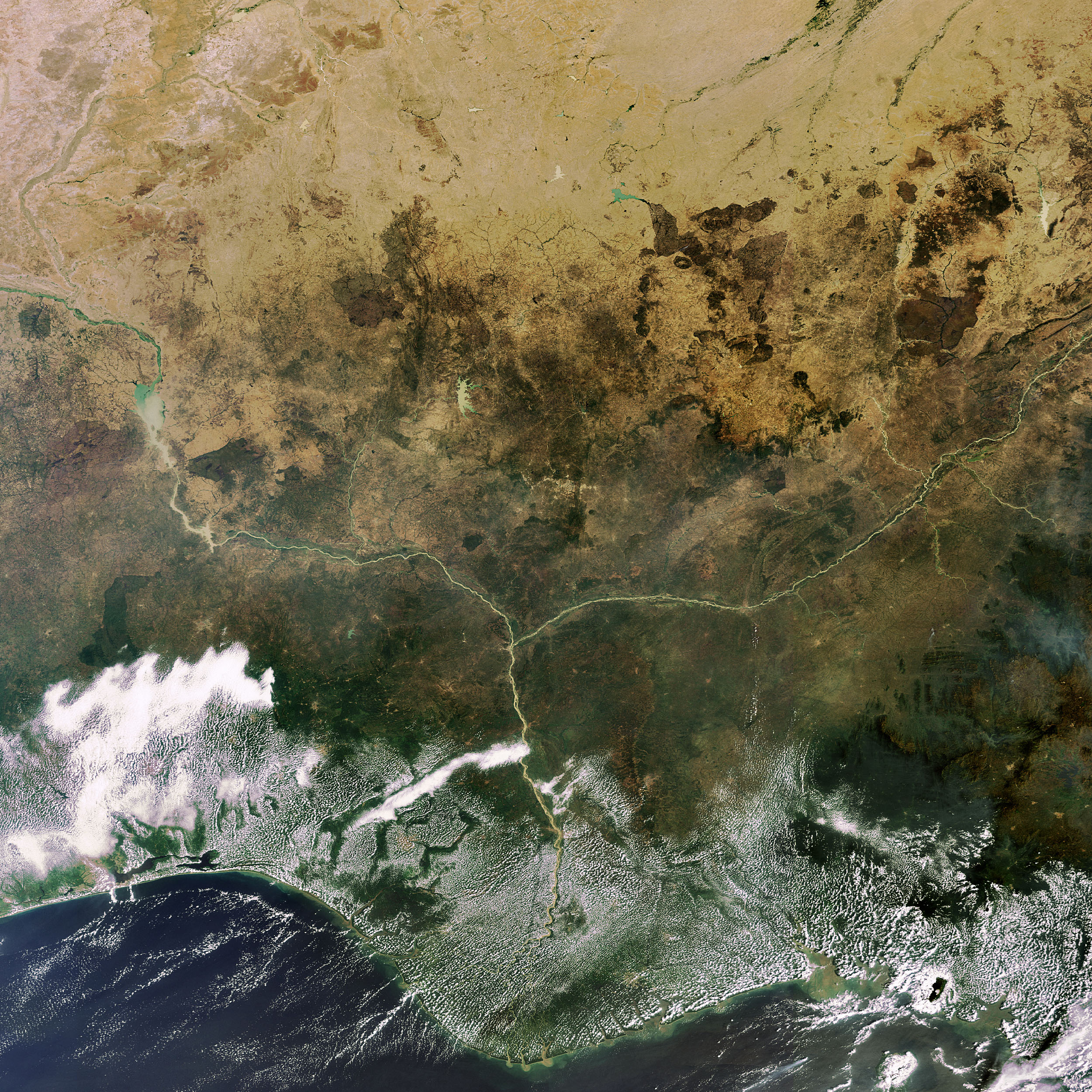
At the 47th Annual General Meeting of the Institution of Surveyors in Ilorin, Nigeria, Nigeria's Vice President, Muhammad Namadi Sambo said the Nigerian federal government would do everything possible to map its geographical landscape to address disaster management in the country. For this purpose, the vice president said, the office of the Surveyor-General of the Federation has been positioned for the task. Sambo called on state governments to also take up the challenge. "This essentially is what maps and its attribute products enable us to do. The government of Nigeria will do everything possible to ensure that our geographical space is properly and comprehensively mapped".

AllAfrica.com
Fri, 13 Jul 2012 - 09:46
Nigeria
Nigeria Regional Support Office

Footer menu

  • Contact
  • Terms of Use

User account menu

  • Log in