![]()
United
Nations
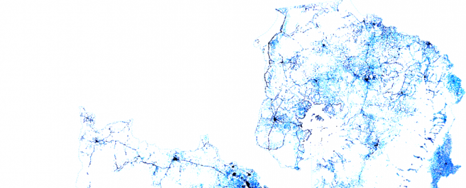
Global High Resolution Population Density Maps (Facebook Connectivity Lab, CIESIN)
| Data provided by: | Facebook Connectivity Lab, Center for International Earth Science Information Network (CIESIN) - Columbia University |
| Data accessibility: | export data, export map |
| Link to the data: | |
| Data type: | baseline data, land use, land cover data, satellite data or aerial image |
| Hazard: | Epidemic, Forest Fire, Glacial Lake Outburst, Drought, Volcanic Eruption, Earthquake, Mass Movement, Tsunami, Landslide, Flood, Severe Storm |
| Disaster cycle phase: | Disaster Risk Management, Response, Recovery |
| Space-based Information: | Facebook Connectivity Lab in collaboration with the Center for International Earth Science Information Network (CIESIN) at Colombia University combines machine vision AI with satellite imagery and census information to create population density maps. With the integration of demographic information, specifically related to age and gender, these maps collectively provide information on both the location and the demographic of a population in a certain country. The population density maps cover the majority of countries around the world. |
| Satellites and Sensors: | Sentinel-2A |
| Spatial coverage: | Global |
| Temporal coverage: | Archive |
| Costs: | free |
| Tutorials on the use of data: | Identification of At-Risk populations using publicly available Facebook Data fo… |
| Restrictions/ Citation of the dataset: | Facebook Connectivity Lab and Center for International Earth Science Information Network - CIESIN - Columbia University. 2016. High Resolution Settlement Layer (HRSL). Source imagery for HRSL © 2016 DigitalGlobe. Accessed DAY MONTH YEAR. |
![]()