![]()
United
Nations
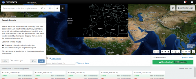
EarthData (NASA)
| Data provided by: | NASA Earth Science Disasters Program |
| Data accessibility: | export data, visualization of data (e.g. web GIS or real time monitoring) |
| Link to the data: | |
| Data type: | satellite data or aerial image |
| Hazard: | Epidemic, Harmful Algal Bloom, Insect Infestation, Forest Fire, Drought, Mass Movement, Earthquake, Tsunami, Volcanic Eruption, Flood, Severe Storm, Extreme Temperature, Pollution |
| Disaster cycle phase: | Disaster Risk Management, Response, Recovery |
| Space-based Information: | NASA's Earth Observing System Data and Information System (EOSDIS) is a program for archiving and distributing Earth science data from multiple missions to users. |
| Satellites and Sensors: | GCOM-W1 (AMSR2), Landsat 4, Landsat 7, Landsat 8, Aqua, Terra (ASTER) |
| Spatial coverage: | Global |
| Spatial resolution: | Varying |
| Temporal coverage: | Archive, Forecasted, Near-real time |
| Content dates: | 1860-Present |
| Costs: | free |
Provider
![]()