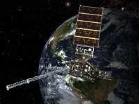
GOES-16 currently serves as the operational geostationary weather satellite over the U.S. East coast. Later this year, GOES-17 will become operational as the GOES West satellite.
Both belong to the GOES-R series focuses on the detection and observation of environmental phenomena that directly affect public safety. The satellites provide advanced imaging with increased spatial resolution and faster coverage for more accurate forecasts, real-time mapping of lightning activity, and improved monitoring of solar activity and space weather.
The GOES-R Series is a four-satellite program (GOES-R/S/T/U) that will extend the availability of the operational GOES satellite system through 2036.
Instruments: ABI (Advanced Baseline Imager) GLM (Geostationary Lightning Mapper) EXIS (Extreme Ultraviolet and X-ray Irradiance Sensors) SUVI (Solar Ultraviolet Imager) MAG (Magnetometer) SEISS (Space Environment In-Situ Suite)