![]()
United
Nations
SeaDAS
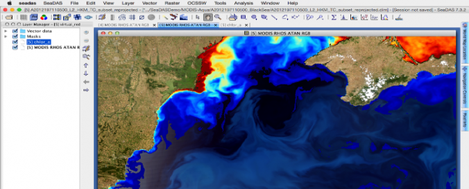
| Description: | The SeaDAS software, developed by NASA is specialized on the processing, visualization, analysis and quality assurance of ocean color data. Most US and International ocean color missions are supported for example: SeaWiFS, MODIS, MERIS and Sentinel-3A. Ocean color data can be used to assess chlorophyll levels to determine the locations of algal blooms. Additional applications are tracking pollutant spills, water temperature and turbidity. SeaDAS is based on the BEAM toolbox and falls under the free software licence. The software allows the conversion of Level 0-3 data and the mapping of the different levels of data. SeaDas also has strong visualization capacities that enable fast image display and navigation of satellite images. |
||||||
| Software type: | Desktop GIS | ||||||
| Website: | https://seadas.gsfc.nasa.gov/ | ||||||
| Accessibility: | Install only | ||||||
| Requirements: |
For more info see: NASA SeaDAS Configuration and Requirements |
||||||
| Computer System: | Windows, MacOSX, Linux | ||||||
| Scope: | Image processing, Visualisation | ||||||
| Vector/Raster: | Vector, Raster | ||||||
| Optical data or radar data format: | Optical | ||||||
| Graphical user interface: | Yes | ||||||
| Costs: | Free |
![]()