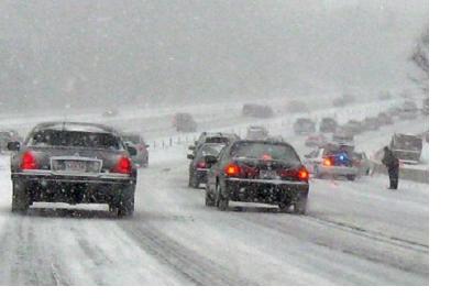
A new data product developed by scientists at the National Oceanic and Atmospheric Administration (NOAA), the National Environmental Satellite, Data, and Information Service (NESDIS), and NASA’s Short-term Prediction Research and Transition (SPoRT) Center will be able to provide a more quick and effective calculation of snowfall rates by satellite.
Until recently, it has been difficult to obtain snowfall rates (SFR) through space data in a timely and reliable way. Satellite data of SFR had to be downloaded in batches after each full orbit, consequently creating a 2 hour delay between data gathering and data delivery.
The team has developed an operational data product that is able to calculate SFR over land. The new product uses direct broadcast (DB) capabilities from different, low Earth orbit satellites to make microwave measurements, instantly transmitting observations to any ground station on Earth (given an adequate antenna). The SFR team then sends this data to SPoRT for reformatting and delivery to weather forecast offices. This new method will cut the former 2 hour delay in delivery time down to 20-30 minutes.
This method will help NOAA and the National Weather Service (NWS) forecasters during heavy snowfall events, especially in more data-sparse locations, for timely SFR updates that can lead to better logistical decisions overall.

