NASA's Applied Remote Sensing Training Department is offering a new webinar on wildfire detection on July 19th, 2018 from 18:00-20:00 EDT (UTC-4). Following the event the webinar will be available as a recording.
In light of increasing drought and wild fire frequencies, the first session describes key aspects of satellite based wildfire monitoring and introduces a new QGIS plugin: "QGIS Fire Mapping Tool (FMT)". The second session gives an overview of the Global Wildfire Information System (GWIS) and demonstrates how to use the GWIS viewer.
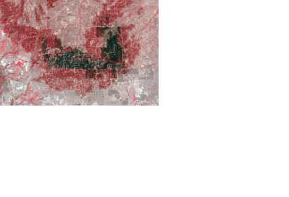
An exercise is presented in the training with the following objectives:
Identify active fires, visualize fire emissions, and calculate burn severity
Use the QGIS FMT to enter fire information and order imagery
Learn how to adjust pre- and post-fire images for comparison
Understand how to identify and outline a fire perimeter boundary
Learn how to create a differenced Normalized Burn Ratio (dNBR) and Relative dNBR (RdNBR) imagery
Learn the basics of creating a thematic burn severity map including threshold identification