Argentina’s National Commission on Space Activities (CONAE) is contributing to the assessment of the forest fires in the Rio Negro, La Pampa and Buenos Aires provinces in Argentina. Researchers at the Unit for National Emergencies (CAEARTE) in the Teofilo Tabanera Space Centre of CONAE in Cordoba are generating maps depicting those regions affected by the forest fires. The forest fires began at the end of December 2016. The MODIS satellite imagery of 4 January 2017 allowed researchers to estimate that nearly 910,000 hectares have been affected by forest fires. The International Charter Space and Major Disasters was activated to contribute to map the areas affected by these forest fires.
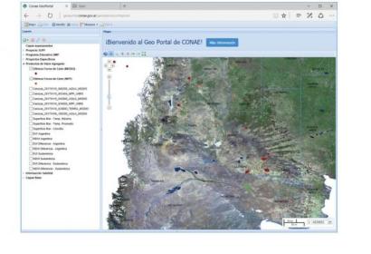
Maps depicting the hotspots related to these forest fires can be viewed using CONAE's Geo Portal. The geo-viewer can be accessed through this link: https://geoportal.conae.gov.ar/geoexplorer/composer/. CAEARTE researchers are testing an experimental procedure to assess the risk of fire.
More information on activities conducted by CONAE related to these forest fires can be found in this link: http://www.conae.gob.ar/index.php/espanol/2017

