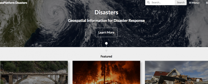
GeoPlatform Data (FGDC)

| Data provided by: | Federal Geographic Data Committee (FGDC) |
| Data accessibility: | export data, export map, statistical data (e.g. graphs) |
| Link to the data: | |
| File type: | csv, dat, GeoTIFF, map, png, png, tiff, USGS ASCII DEM, USGS Optional ASCII DEM (and CDED) |
| Data type: | baseline data, elevation, hazard specific data, land use, land cover data, satellite data or aerial image |
| Disaster cycle phase: | Disaster Risk Management, Response, Recovery |
| Space-based Information: | The Geospatial Platform (GeoPlatform) aims to support the US Administration's–Open Government, Open Data and Digital Government strategies to enhance transparency, collaboration and participation. The GeoPlatform provides a suite of geospatial data, services, and applications for use by Federal agencies—and their State, local, Tribal, and regional partners to meet their mission needs. The GeoPlatform was developed by the member agencies of the FGDC through collaboration with partners and stakeholders. The GeoPlatform is being implemented to help agencies meet their mission needs, including communicating with and publishing data and maps to the public. The GeoPlatform focuses on web applications that facilitate participatory information sharing, interoperability, user‐centered design, and collaboration on the World Wide Web. The GeoPlatform is a key component connecting many goals of the NSDI Strategic Plan in advancing the US National Spatial Data Infrastructure (NSDI). The portfolio of data, applications, and services provided on the GeoPlatform is stewarded through the use of open licenses and careful review and hosted on cloud infrastructure that maximizes geospation interoperability. The GeoPlatform provides streamlined access to National Geospatial Data Assets and reduces data duplication. The collaborative GeoPlatform Marketplace helps reduce data acquisition costs. GeoPlatform's many tools and dashboards support the A-16 Portfolio Management process. |
| Spatial coverage: | Northern America |
| Temporal coverage: | Archive, Near-real time |
| Costs: | free with restrictions |
| Restrictions/ Citation of the dataset: | Data sets vary with public use to U.S. Government Work Licence |

