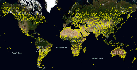
On 25 June 2012, Bing Maps announced the publication of its largest satellite release to date. This release is larger than all of the past Aerial releases combined. The latest Aerial release includes new Satellite imagery as well as Global Ortho photography. Both releases total 165 terabytes of new data live on Bing Maps. Prior to this, the existing Aerial footprint was 129 terabytes total. This release features imagery over North America, South America, Africa, Australia, Europe and Asia. The total area covered in this data release is nearly 38 million square kilometers.