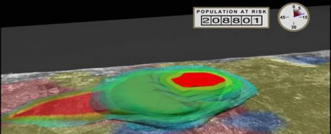
LandScan™ Global Population Distribution Dataset (ORNL)

| Data provided by: | Oak Ridge National Laboratory (ORNL) |
| Data accessibility: | Exportar mapa |
| Link to the data: | |
| Requirements: | Registration is required, here you see the information on "LandScan data availability" |
| File type: | tiff |
| Data type: | Datos sobre el use suelo, cobertura del terreno |
| Disaster cycle phase: | Gestión des Riesgo por Desastres, Respuesta, Recuperación |
| Satellites and Sensors: | QuickBird-2 (BGIS2000), IKONOS |
| Spatial coverage: | Global |
| Spatial resolution: | 1000 |
| Temporal coverage: | Archivado, Casi en tiempo real |
| Technical Specifications: | |
| Costs: | De forma gratuita con restricciones |
| Contact: | LandScan@eastview.com |
| Tutorials on the use of data: | The World’s Finest Population Distribution Data |
| Restrictions/ Citation of the dataset: | The licence fees is depend on the individual purpose. Here you get more information on "LandScan Data Availaility" |

