![]()
United
Nations
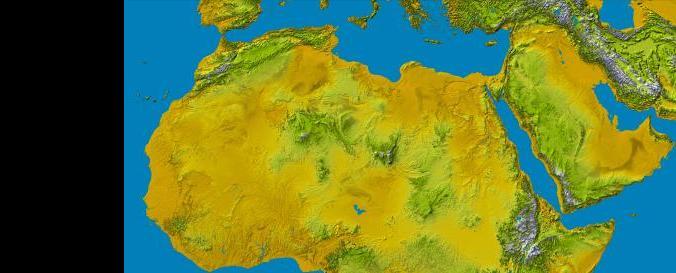
Digital Elevation Model - SRTM 1 Arc-Second 30m (NASA, NGA)
| Data provided by: | USA National Geospatial-Intelligence Agency (NGA) |
| Data accessibility: | Exportar datos |
| Link to the data: | |
| Requirements: | login (earthexplorer account) |
| Data type: | Elevación |
| Disaster cycle phase: | Gestión des Riesgo por Desastres, Respuesta, Recuperación |
| Satellites and Sensors: | SRTM (SIR-C) |
| Spatial coverage: | Global |
| Spatial resolution: | 30m |
| Temporal coverage: | Archivado |
| Content dates: | 2000 |
| Technical Specifications: | |
| Costs: | Gratis |
| Tutorials on the use of data: | How to download SRTM 1 DEM |
| Restrictions/ Citation of the dataset: | https://lta.cr.usgs.gov/citation |
Provider
![]()