![]()
United
Nations
Land Cover, Pakistan (SUPARCO, FAO)
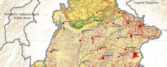
| Data provided by: | Space and Upper Atmosphere Research Commission (SUPARCO) of Pakistan |
| Link to the data: | |
| Data type: | Datos sobre el use suelo, cobertura del terreno |
| Disaster cycle phase: | Gestión des Riesgo por Desastres |
| Satellites and Sensors: | SPOT 5 (HRG) |
| Spatial resolution: | 5.00 m |
| Temporal coverage: | Archivado |
| Content dates: | 2010 |
| Technical Specifications: | |
| Costs: | Gratis |
Provider
![]()