![]()
United
Nations
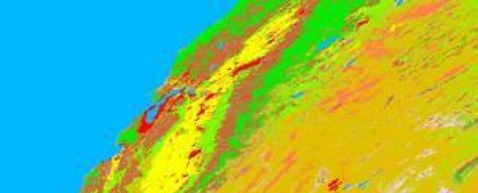
MODIS Land Cover Products (NASA)
| Data provided by: | National Aeronautics and Space Administration (NASA) |
| Data accessibility: | Exportar datos |
| Link to the data: | |
| Data type: | Datos sobre el use suelo, cobertura del terreno |
| Disaster cycle phase: | Gestión des Riesgo por Desastres, Respuesta, Recuperación |
| Space-based Information: | MODIS |
| Spatial coverage: | Global |
| Spatial resolution: | From 500.00 to 5600.00 m |
| Temporal coverage: | Archivado |
| Technical Specifications: | |
| Costs: | Gratis |
| Tutorials on the use of data: | How to interpret and use MODIS QA information in the Vegetation Indices product…, How to find, understand, and use the quality assurance information for MODIS la…, MCD12Q1 User Guide (NASA), MCD12Q1 User Guide (NASA), MCD12Q2 User Guide (NASA) |
| Restrictions/ Citation of the dataset: | For information on how to cite the data products, click here. |
Provider
![]()