![]()
United
Nations
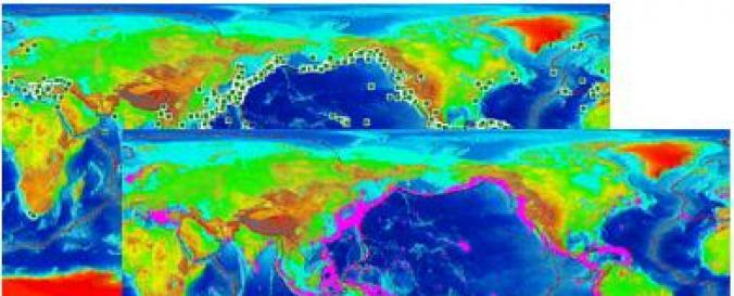
Global Historical Tsunami Database (NOAA)
| Data provided by: | National Oceanic and Atmospheric Administration (NOAA) |
| Data accessibility: | Exportar datos, Exportar mapa, Datos estadísticos (ej. gráficos), Visualización de datos (ej. web SIG o monitoreo en tiempo real) |
| Link to the data: | |
| File type: | xls |
| Data type: | Datos sobre amenazas específicas |
| Hazard: | Earthquake, Mass Movement, Tsunami, Volcanic Eruption |
| Disaster cycle phase: | Gestión des Riesgo por Desastres, Respuesta, Recuperación |
| Spatial coverage: | Global |
| Spatial resolution: | 3000.00 |
| Temporal coverage: | Archivado |
| Content dates: | 2000 B.C. - present |
| Technical Specifications: | |
| Costs: | Gratis |
| Contact: | Contacts |
| Tutorials on the use of data: | Check for the Help Link on the Natural Hazards Interactive Map |
| Restrictions/ Citation of the dataset: |
Provider
![]()