![]()
United
Nations
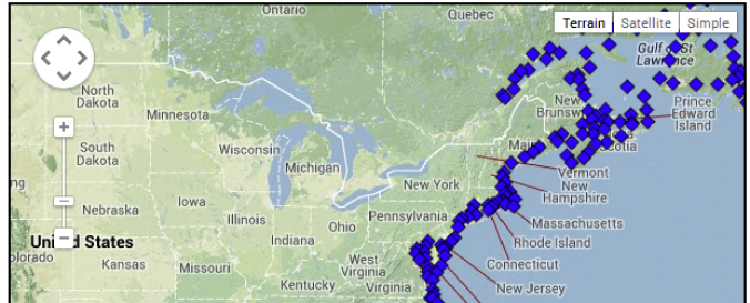
Cyclone breakpoints (NOAA-GTWO)
| Data provided by: | National Oceanic and Atmospheric Administration (NOAA) |
| Data accessibility: | Exportar datos, Exportar mapa, Visualización de datos (ej. web SIG o monitoreo en tiempo real), Procesamiento web/computación en la nube |
| Link to the data: | |
| Requirements: | GIS software ,windows XP and above,MAC and LINUX |
| Data type: | Datos sobre amenazas específicas |
| Hazard: | Flood, Severe Storm |
| Disaster cycle phase: | Gestión des Riesgo por Desastres |
| Space-based Information: | Ground-based observations |
| Spatial coverage: | Global |
| Spatial resolution: | 110574.00 |
| Temporal coverage: | Archivado, Casi en tiempo real |
| Content dates: | 2008-2012 |
| Technical Specifications: | |
| Costs: | Gratis |
| Restrictions/ Citation of the dataset: |
Provider
![]()