  • English
  • Español
  • Français

United
Nations


Office for Outer Space Affairs
UN-SPIDER Knowledge Portal

  • Inicio
  • Sobre nosotros
    • Sobre ONU-SPIDER
    • Acerca de UNOOSA
    • Publicaciones
    • Ofertas de trabajo
    • Conozca el Equipo
    • Contacto
  • Aplicación Espacial
    • Guías Tecnológicas
    • Mecanismos de Emergencia
    • Mecanismos de Recuperación
    • Red Internacional de Alerta de Asteroides
    • Grupo Asesor para la Planificación de Misiones Espaciales
    • Iniciativa Internacional sobre Meteorología Espacial
    • Tecnologías Espaciales en la ONU
    • Historias de Usuarios
  • Enlaces y Recursos
    • Aplicación de datos del mes
      • Disaster Recovery
    • Fuentes de Datos
    • SIG y Software de Percepción Remota
    • Recursos de capacitación en línea
    • Instituciones
  • Riesgos y Desastres
    • Gestión del Riesgo de Desastres
    • Alerta temprana
    • Gestión de Desastres y Emergencias
    • Amenazas Naturales
    • El Proceso de la Reducción de Desastres Post-2015
    • La ONU y la Gestión del Riesgo de Desastres
    • La ONU y Alerta Temprana
    • La ONU y la Gestión de Desastres
  • Asesoría
    • Misiones de Asesoría
    • Apoyo en caso de Emergencia
    • Asesoría Virtual
    • Prácticas Recomendadas
    • Actividades de Entrenamiento
    • Usos Prácticos
  • Redes
    • Oficinas Regionales de Apoyo
    • GP-STAR
    • IN-MHEWS
    • IWG-SEM
  • Proyectos
    • SPEAR
    • FOSAT-S
    • EvIDENz
    • Flood GUIDE
  • Noticias y Eventos
    • Noticias
    • Eventos
    • Eventos pasados

Breadcrumb

  • Home
  • Find The Freshest Imagery With Google's "imagery Updates" KML
  • Find the freshest imagery with Google's "imagery updates" KML

Find the freshest imagery with Google's "imagery updates" KML

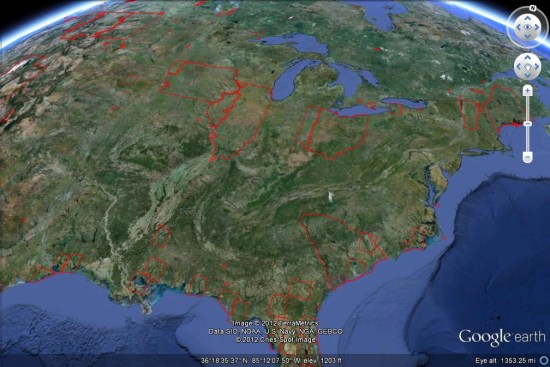
For years now, Google has produced a special network link file that shows the latest imagery that has been added to Google Earth. Each time they push out fresh imagery, the network link is updated (usually 2-3 days later) to show you exactly where the new imagery can be found. To see it for yourself, just grab their KML file [Google Earth File - You must have GE installed] and look for the areas outlined in red. Another thing to keep in mind is that the newest imagery is sometimes hidden in the "historical imagery" feature. This occurs when Google captures updated imagery for an area, but decides that the existing imagery is better (sharper, better coloring, etc). They still want to post the fresh imagery for users to find, but leave the better looking imagery on the default layer.


Google Earth Blog
Thu, 8 Mar 2012 - 14:42

Footer menu

  • Contact
  • Terms of Use

User account menu

  • Log in