Introduction
In recent decades, communities in Africa have experienced disasters triggered by floods, droughts, landslides, forest fires, Ebola pandemics, and locust plagues that have eroded hard-won development gains. Taking note of advances in space technologies and other technological innovations, the African Union indicated in its 2017 African Space Policy that space represented a unique opportunity for cooperation in using and sharing enabling infrastructure and data towards the proactive management of, inter alia, responses to natural hazards and disasters. In that respect, the African Union aims to promote the use of space applications to improve weather forecasts and to develop a range of early warning systems, as Africa is subject to various extreme weather, climate, ecosystem, and geological events.
Convinced that space technologies can play a vital role in supporting disaster management, the United Nations General Assembly (UNGA) established the United Nations Platform for Space-based Information for Disaster Management and Emergency Response (UN-SPIDER) in 2006 as a programme to be implemented by the United Nations Office for Outer Space Affairs (UNOOSA). The General Assembly mandated UN-SPIDER to provide universal access to all countries and all relevant international and regional organizations to all types of space-based information and services relevant to disaster management to support the full disaster management cycle.
The UN-SPIDER Regional Support Office (RSO) in Algeria is hosted by the Algerian Space Agency (Agence Spatiale Algerienne, ASAL). It was established during the third African Leadership Conference on Space Science and Technology for Sustainable Development on 7 December 2009 in Algiers.
In recent years, Algeria and other parts of Northern Africa, Europe, Asia, and America have been impacted by forest fires. To contribute to disaster response efforts, ASAL has generated various types of maps of areas affected by forest fires.
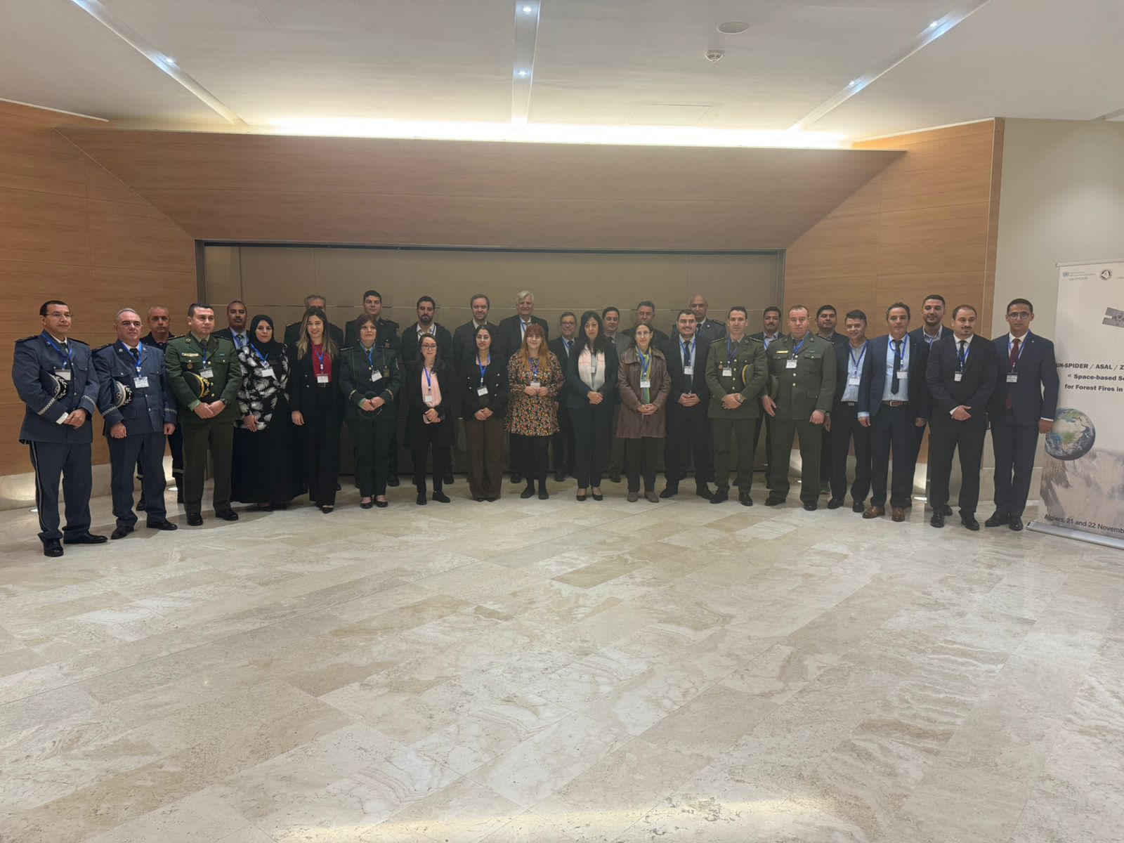
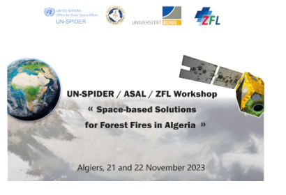
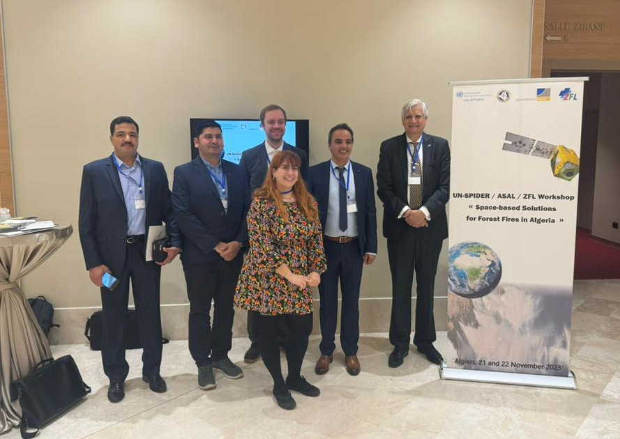
To contribute to these efforts, UN-SPIDER, ASAL, and the Centre for Remote Sensing of Land Surfaces of the University of Bonn (ZFL) joined forces to organize the UN-SPIDER/ASAL/ZFL Workshop "Space-based Solutions for forest fires in Algeria". This workshop was organized in Algiers, Algeria, on 21 and 22 November 2023, and contributed to the efforts implemented by ASAL to facilitate the use of space technologies and other solutions developed by the space community to confront the challenges posed by forest fires. The aims of this workshop were:
To take stock of the contributions of ASAL to facilitate the use of space-based information in Algeria in efforts to confront the challenges posed by forest fires;
To raise awareness regarding novel applications of satellite technologies in forest fire mapping, early warning systems, and disaster response operations developed by the space community and by members of the network of UN-SPIDER Regional Support Offices; and
To raise awareness regarding the UN-SPIDER Recommended Practices on forest fires.
Summary
The two-day workshop brought together nearly 30 professionals from various institutions to address the use of Earth observation technologies in forest fire management. While several experts used their presentations to showcase different types of space technologies that can be used to monitor fires and assess their geographical extent and burn severity; the discussion sessions allowed participants to identify critical issues that need to be considered when using such space-based technologies. For example, officials from the General Directorate of Forests and ASAL identified a significant convergence between the results of on-site operations and those derived from satellite observations during the summer season of 2023. This correlation proved particularly beneficial, as the approach of conducting field visits to validate results at sites where discrepancies were observed, a practice carried out at the end of the summer campaigns in previous seasons, was eliminated this year. Another challenge to address is resolving discrepancies observed in the locations of detected fire hotspots when using data from European geostationary weather satellites and American MODIS, NOAA, and SUOMI satellites integrated into the FIRMS solution.
The workshop achieved its aims in terms of presenting space-based tools that can contribute to address the challenges posed by forest fires and facilitated the identification of follow-up efforts, including synergies between the BEYOND Centre of Excellence, ASAL, IGAC and the National Civil Protection Office of Tunisia regarding the use of tools developed by the BEYOND Centre and IGAC in Algeria and Tunisia. Furthermore, the success of the workshop led to the recognition of the strength of ASAL in organizing and hosting future regional joint workshops with UN-SPIDER on other hazards such as floods and droughts.
In the context of UN-SPIDER, the workshop was able to bring together representatives of several of its Regional Support Offices which are addressing the topic of forest fires, enabling them to identify specific follow-up efforts. It also allowed UN-SPIDER to continue its efforts regarding the promotion of solutions developed by the space community to confront those challenges posed by forest fires and the workshop also allowed UN-SPIDER to take note of the vast experience of the General Directorate of Forests and the Civil Protection Directorate regarding their use of such space-based solutions.