Turkey and Syria recently experienced two devastating earthquakes of magnitude 7.8 and closely followed by a magnitude 7.5, resulting in extensive damage and destruction. The International Charter 'Space and Major Disasters' was activated by Turkish authorities, the United Nations, and the International Federation Red Cross & Red Crescent Societies in response to the earthquakes. The Charter provided more than 350 crisis images from 17 space agencies worldwide, which were used to create damage and situation maps to estimate the hazard impact and support relief actions. The Copernicus Emergency Mapping Service (CEMS), which has a cooperation agreement for sharing data and collaborating with the Charter, has also been activated. The service, which has a collaboration agreement for data sharing and working with the Charter, also employs observations from several satellites to deliver on-demand mapping.
Satellite data is proving to be invaluable for emergency aid organizations to aid in disaster response efforts, and scientists to analyze ground movement to provide valuable information for authorities to make informed decisions regarding recovery and reconstruction planning. The information gained from analyzing the data will also help improve the modeling of future events to better prepare for them. Rescue teams can use the maps generated from the satellite data to navigate amongst the rubbles to the areas that are severely impacted to help prioritize emergency responses and determine the safest routes, including avoiding bridges that may have been damaged. The information can help rescuers reach remote areas where assistance is scarce. Additionally, NGOs utilize satellite images and maps to identify the locations where people have gathered after the catastrophe, such as stadiums or parks, to provide essential supplies like food and water.
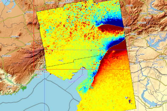
Satellite imagery has multiple uses beyond providing maps of areas that have been affected by an earthquake. Scientists can utilize radar imagery from satellites to observe and examine geological transformations that result from seismic events. The radar instrument on the Copernicus Sentinel-1 mission is capable of detecting changes on the ground, even in cloudy conditions and at any time of day. By using a method called 'interferometry,' scientists can compare images captured before and after the earthquake to determine its impact. Sentinel-1 and Sentinel-2 data are used to calculate the amount of surface displacement caused by the earthquake, and this information is represented through a colorful interference pattern called an interferogram. This technique enables researchers to quantify surface displacement. This technique allows scientists to understand the extent and severity of the damage and better prepare for future earthquakes.
Main article image: Deformation map over Türkiye and Syria. © DLR