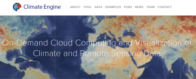
| Description: | The Climate Engine web application was created to enable users to quickly process and visualize satellite earth observations and gridded weather data for environmental monitoring and to improve early warning of drought, wildfire, and crop-failure risk. Instead of processing entire archives, it allows users to focus on data discovery and answers. Climate Engine uses Google’s Earth Engine for on-demand processing of satellite and climate data via a web browser. Application features include on-demand value and anomaly mapping, time series and statistical summaries, downloadable results in GeoTIFF format, and time series results as .csv or .xlsx format, and sharing map or time series results with web URL links. |


