![]()
United
Nations
MERIT DEM: Multi-Error-Removed Improved-Terrain DEM (University of Tokyo)
| Data provided by: | The University of Tokyo |
| Data accessibility: | Exportar datos |
| Link to the data: | |
| Requirements: | Registration to get access to MERIT DEM |
| Data type: | Elevación, Datos sobre amenazas específicas |
| Hazard: | Flood |
| Disaster cycle phase: | Gestión des Riesgo por Desastres, Respuesta, Recuperación |
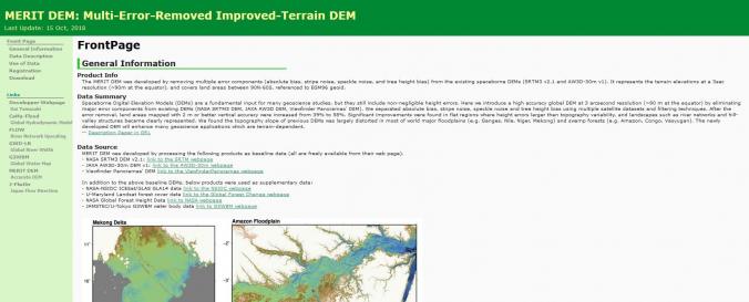
| Space-based Information: | The MERIT DEM was developed by removing multiple error components (absolute bias, stripe noise, speckle noise, and tree height bias) from the existing spaceborne DEMs (SRTM3 v2.1 and AW3D-30m v1). It represents the terrain elevations at a 3sec resolution (~90m at the equator), and covers land areas between 90N-60S, referenced to EGM96 geoid. |
| Spatial coverage: | Global |
| Spatial resolution: | 90m |
| Temporal coverage: | Casi en tiempo real |
| Costs: | Gratis |
| Restrictions/ Citation of the dataset: | Yamazaki D., D. Ikeshima, R. Tawatari, T. Yamaguchi, F. O'Loughlin, J.C. Neal, C.C. Sampson, S. Kanae & P.D. Bates |
Provider
![]()