The Research and Development Center of Geographic Information (CIAF), an arm of the Geographic Institute Agustín Codazzi (IGAC), is developing a risk assessment system for the city of Villavicencio in Colombia. IGAC is a Regional Support Office of UN-SPIDER and responsible for advancing geographic investigations for the development of Colombia, and educating and training professionals in geographic information technologies.
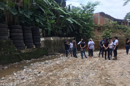
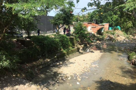
The institute's new system includes the risk assessment of floods, landslides, debris and mudflow for the rural and urban area of the municipality. Previously, risk assessments and the regulation of land use in the country were traditionally carried out as relatively independent processes. This made a tangible adoption and implementation of risk management processes based on non-reactive intervention measures, such as land-use planning, difficult to implement. Furthermore, these processes rarely took the opinion of the municipality’s citizens into account, whom these processes aimed to support by reducing the population’s exposure to risks.
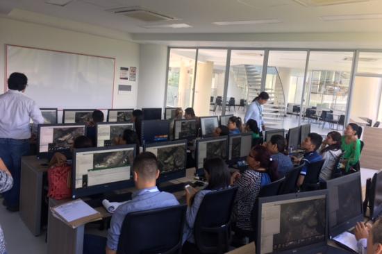
The new project is structured into three phases: During the first phase, risk studies for the mentioned phenomena will be developed. During the second phase, these risk studies will be incorporated into the city’s land use plan, which allows to reduce the risk of floods, landslides, debris and mudflow through the careful planning of the city’s future infrastructure. During the final phase, the results of the project will be incorporated into a Geographic Information System (GIS) and distributed to the municipality. Thus, the citizens of Villavicencio can trace their exposure to the natural risks mentioned above and also participate in the land-use planning phase.
Through the implementation of risk assessments, land-use planning and citizens’ participation, the project contributes to the integration of three major components in order to increase Villavicencio’s resilience towards natural disasters and to ensure a sustainable development of the city.