![]()
United
Nations
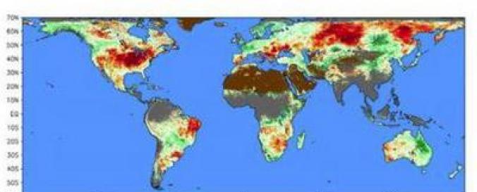
Global dataset of Evaporative Stress Index (ESI - SERVIR)
| Data provided by: | SERVIR |
| Data accessibility: | Exportar datos, Datos estadísticos (ej. gráficos) |
| Link to the data: | |
| Data type: | Datos sobre amenazas específicas |
| Hazard: | Drought |
| Disaster cycle phase: | Gestión des Riesgo por Desastres, Respuesta, Recuperación |
| Satellites and Sensors: | Terra |
| Spatial coverage: | Global |
| Spatial resolution: | 5 km |
| Temporal coverage: | Archivado, Casi en tiempo real |
| Technical Specifications: | |
| Costs: | Gratis |
| Contact: | Contact SERVIR Global |
| Restrictions/ Citation of the dataset: | General Disclaimer Unless a copyright is indicated, information presented on this web site is considered public information and may be distributed or copied. In return, we request only that SERVIR be cited as the source of any information, photos, and images obtained from this site, and that any photo credits or bylines be similarly credited to the photographer or author. We strongly recommend that SERVIR data be acquired directly from this web site and not through other sources that may change the information in some way or exclude material crucial to the understanding of that information. While we make every effort to provide accurate and complete information, some information may change between site updates. Substantive changes may be noted when content is next updated. |
Provider
![]()