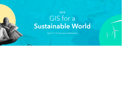
Formerly called the GIS for the United Nations and International Community Conference, this revamped event explores how Esri’s ArcGIS platform empowers the international community to achieve the global goals. The event is co-hosted by UNITAR’s Operational Satellite Application Programme (UNOSAT), and Esri.
This year’s conference features an engaging, interactive environment that drives collaboration with your peers – and focuses on applying GIS to: people, planet, prosperity, and peace. There will be sessions with topics of interest to management, technical workshops, and a new track engaging the private sector in using GIS for sustainability. Join us for an inspiring Opening session followed by peer-to-peer exchanges, lightning sessions, and networking events—all created to empower your organization to achieve your goals. With an agenda full of immersive sessions and social networking with other professionals in the sustainable development community, and opportunities to explore technology by ‘doing’, this is an event unlike any other.
Start leveraging powerful GIS technology in new ways to build a better world—by helping to end poverty, inequality, climate change, improving health and more.
Meet. Map. Make a difference.
Registration
Registration is by invitation only. If you have received an invitation, please refer to the special link within the invitation to register. If you did not receive an invitation but would like to apply to attend, please feel free to do so, and the conference committee will review your request. If your request is approved, you will receive an e-mail confirmation. Please note that only officially confirmed participants may attend the conference.