![]()
United
Nations
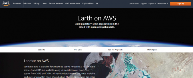
Amazon Web Services (AWS) satellite data
| Data provided by: | Amazon |
| Data accessibility: | Exportar datos |
| Link to the data: | |
| Data type: | Elevación, Datos satelitales o imágenes aéreas |
| Space-based Information: | AWS offers free and commercial satellite data. Special data sets for even commercial images are freely available, and access is also granted without charges for certain research purposes. Sentinel -2, Landsat 8, Modis (Terra)/(Aqua), Worldview, SRTM (30m) digital elevation data, GDELT monitor of world's broadcast, print and web news, NASA Earth Exchange climate data, GOES, MOGREPS, OpenAirQuality |
| Satellites and Sensors: | GOES-16, Aqua, Landsat 8, Terra (ASTER) |
| Spatial coverage: | Global |
| Spatial resolution: | 50 cm < |
| Temporal coverage: | Archivado, Prognosticado, Casi en tiempo real |
| Content dates: | 50cm < |
| Technical Specifications: | |
| Costs: | Pagado |
| Contact: | Contact Site |
| Restrictions/ Citation of the dataset: |
Provider
![]()