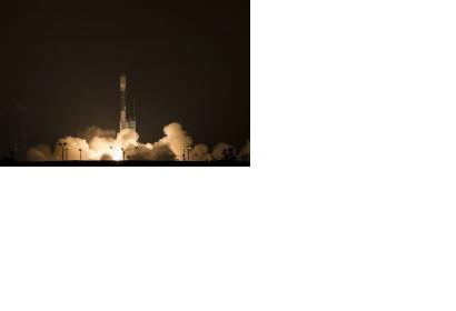
On Saturday 31 January 2015 at 6:22 a.m. PST, NASA successfully launched its new Earth observation satellite SMAP from Vandenberg Air Force Base, California, USA, designed to collect global observations of the vital soil moisture.
The Soil Moisture Active Passive (SMAP) observatory will collect data from below the Earth’s surface for the next three years to expand the understanding of how soil moisture links the water, energy and carbon cycles driving our planet. SMAP’s combined radar and radiometer instruments will peer into the top fives centimeters of soil, through clouds and moderate vegetation cover, day and night, to produce the highest-resolution, most accurate soil moisture maps ever obtained from space.
The mission will allow scientists to monitor droughts and better predict flooding caused by severe rainfall or snow melt. Also, SMAP data will help to better forecast crop yields and therefore it can also assist in global famine early-warning systems.
The SMAP team is engaged with many organizations and individuals that see immediate uses for the satellite’s data, such as e.g. the United Nations World Food Programme or the U.S. Department of Agriculture.
"The next few years will be especially exciting for Earth science thanks to measurements from SMAP and our other new missions," said Michael Freilich, director of the Earth Science Division of NASA’s Science Mission Directorate in Washington. "Each mission measures key variables that affect Earth’s environment. SMAP will provide new insights into the global water, energy, and carbon cycles. Combining data from all our orbiting missions will give us a much better understanding of how the Earth system works."

