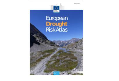
This article is based on a news announcement by the JRC from 11 October 2023: "Drought Risk Atlas: heightened risk threatens the environment and the economy". Find the full article here.
The Joint Research Centre (JRC) of the European Commission published the first European Drought Risk Atlas, presenting a comprehensive assessment and mapping of drought risks and their impacts in the European Union (EU) under various climate change scenarios. Developed by the Joint Research Centre (JRC) and the European Drought Observatory for Resilience and Adaptation (EDORA) partners, this innovative Atlas is the first of its kind to offer a detailed view of the risks posed by droughts to European societies and ecosystems.
Droughts, characterized by their gradual development and unpredictability, have become increasingly prevalent across the EU, affecting regions both traditionally vulnerable and previously unaffected. The Atlas, employing a unique blend of expert knowledge and machine learning, highlights the complexity and severity of these events. The study focused on five key sectors: agricultural crop systems, public water supply, energy production, river transportation, and ecosystems.
The Atlas is complemented by the European droughts impacts database, which contains data on drought impacts from 1977 to 2022. It will become available to users at a later stage. Both, the atlas and the database, will be integrated into the Copernicus European Drought Observatory run by the JRC.
Read the full news article by JRC here.
In the face of the challenges connected to droughts, satellite technologies can be of great assistance. Advanced satellites equipped with cutting-edge sensors can provide invaluable data for drought monitoring and mapping activities. They can detect subtle changes in land surface temperature and vegetation health, providing early warnings for drought conditions. Additionally, satellite imagery aids in assessing water resources, identifying areas of depletion, and monitoring changes in soil moisture content.

