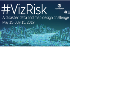
The Understanding Risk (UR) Community and GFDRR are organizing a challenge with the aim to explore how maps and visualization techniques can help citizens and governments better understand and use data on natural hazards, exposure and vulnerability.
Part 4: Blog about your process, challenges and successes
To get started:
22 May 2019 — Webinar: Creating map-based data visualizations, presented by Lo Benichou, resident data visualization specialist at Mapbox. Register
29 May 2019 — Webinar: Analyzing and communicating risk data, presented by Stu Fraser, Senior Disaster Risk Management Consultant and Simone Balog-Way, Disaster Risk Management Analyst from the World Bank’s Global Facility for Disaster Reduction and Recovery. Register
4 June 2019 — Supporting event: Hands-on building and mentoring event in San Francisco, California, USA (with live video link for remote participants) Register
5 June 2019 — Supporting event: Hands-on building and mentoring event in Washington D.C., USA (with live video link for remote participants). Register now!