The training date is in the past. However, videos and resources of the training can be accessed here.
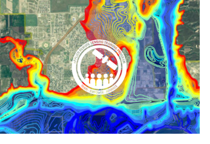
According to the UNDP, by 2050, two thirds of the world’s population is likely to live in cities. Urban flooding is already a major risk for cities. Increasing impervious surface area, inadequate storm water drainage, and aging infrastructure all contribute. As a result, growing urban populations will face a greater risk of flooding from extreme weather events. This webinar series will focus on the components of urban flooding that satellite data can track:
Extreme precipitation
Flooding
Waterlogged and ponded surfaces
Using satellite data allows individuals and organizations to develop better plans for handling floods. This can include developing better early warning techniques, better plans for rescue and relief, and more effective long-term infrastructure planning.
By the end of the training, attendees will be able to:
Describe remote sensing and Earth system model data useful for flood monitoring in urban areas
Identify how remote sensing can aid in planning early warning systems, flood response, and flood recovery efforts
This training is primarily intended for urban water and disaster managers, urban planners, emergency responders, transportation and utility providers and planners, public health professionals, and the insurance sector.