Cartographie des inondations par l‘imagerie satellitaire radar
UN-SPIDER
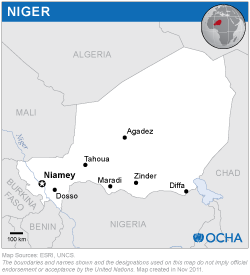
General Directorate for Civil Protection of the Niger
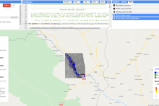
In order to strengthen the capacity of the General Directorate for Civil Protection of the Niger to use space-based information to respond to floods in the country, UN-SPIDER conducted an online training course on flood mapping with Sentinel-1 radar imagery in Google Earth Engine. During the training, participants were introduced to the basic principles of radar remote sensing, learned to use the recommended practice, explored the process with selected case studies and presented the results in geographical information systems as flood maps.